PT Geoscan Eksplorasindo is a dynamic and forward-thinking consultant company, established with a clear vision to be a leading partner in delivering expert geological, geophysical, and surveying solutions across Indonesia.
With over a decade of professional experience, we have proudly served major projects in the energy, mining, and infrastructure sectors. Our foundation is built on a deep understanding of subsurface exploration and a commitment to leveraging cutting-edge technology.
OUR CUTTING-EDGE EQUIPMENT
PT Geoscan Eksplorasindo committed to using the latest technology to deliver precise and reliable data. Our extensive inventory of advanced survey equipment allows us to handle a wide range of projects with unparalleled accuracy.
We utilize state-of-the-art tools, including:
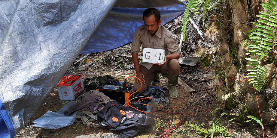
Geophysical Instruments
We employ a full suite of geophysical instruments such as Geomagnet, IP & Resistivity, Georadar, and Seismic Refraction to explore subsurface structures and identify potential resources.
GNSS & Lidar
For high-precision mapping and modeling, we use advanced GNSS (Global Navigation Satellite System) technology and LiDAR systems to create detailed topographic and spatial data.
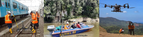
Marine Equipment
Our Bathymetry equipment is used for detailed underwater surveys to map the seafloor and a range of marine features.
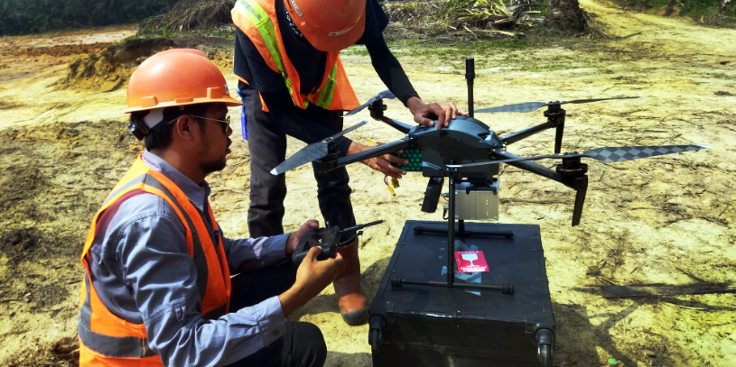
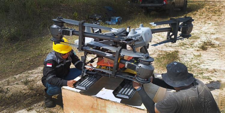
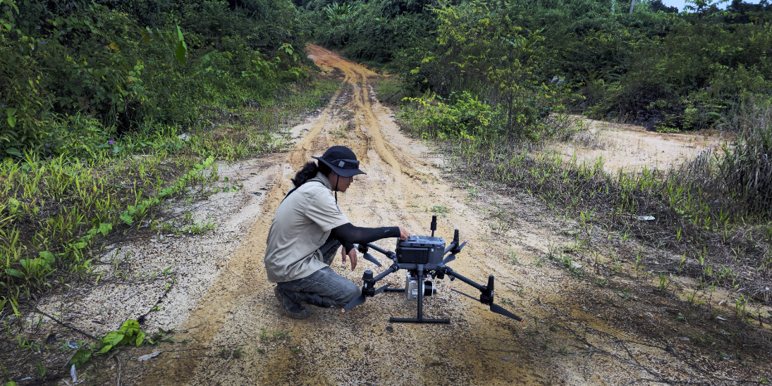
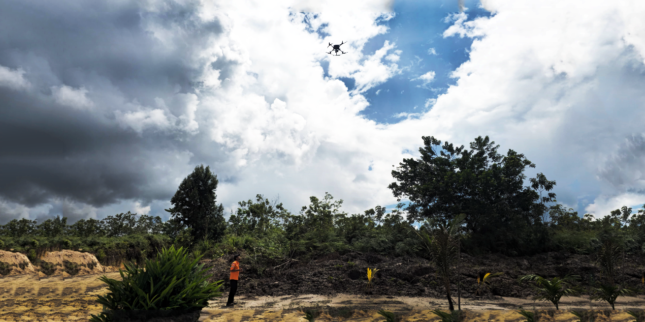
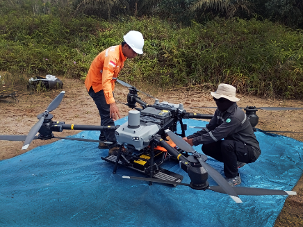
Drone Technology
We operate a versatile fleet of drones, including the DJI Flycart 30 for heavy-duty payload transport, the DJI Agras T20 for specialized agricultural applications, and other advanced DJI Enterprise drones for aerial mapping and inspections.
This high-tech equipment, combined with our team’s expertise, ensures that we can provide our clients with the most accurate and efficient survey solutions available today.
SPECIALIZED EXPERTISE
PT Geoscan Eksplorasindo, is structured to provide specialized expertise across different operational Environments. To ensure maximum precision and efficiency, our services are delivered through three dedicated and separate divisions:
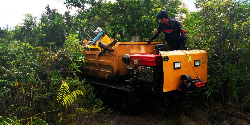
Terrestrial Division
Specializing in land-based surveys and explorations for mining, infrastructure, and other geological projects.
Marine Division
Focused on underwater and offshore surveys, including bathymetry and sub-bottom profiling for marine infra-structure and resource mapping.
Aerial Division
“Our modern drone and aircraft technology delivers precise and targeted aerial mapping, LiDAR, and photogrammetry.”
OUR EXPERIENCES
“PT Geoscan Eksplorasindo has extensive experience in geological projects with the latest scientific and technological approaches.”
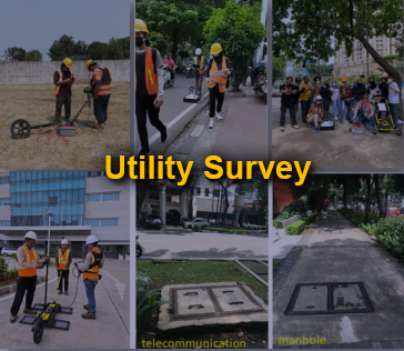
Utility Survey
“PT Geoscan Eksplorasindo provides precision urban utility surveys with GPR, safe and with minimal disruption.”
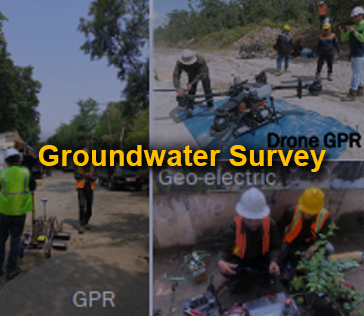
Groundwater Survey
“PT Geoscan Eksplorasindo is experienced in groundwater exploration in various geological conditions.”
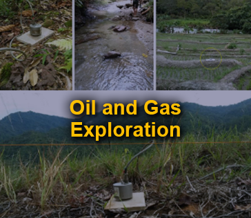
Oil and Gas Exploration
“PT Geoscan Eksplorasindo provides subsurface data for oil and gas exploration using high-tech survey methods.”
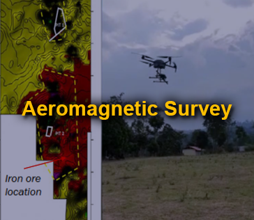
Aeromagnetic Survey
“PT Geoscan Eksplorasindo provides aeromagnetic surveys for mapping geological structures and minerals.”
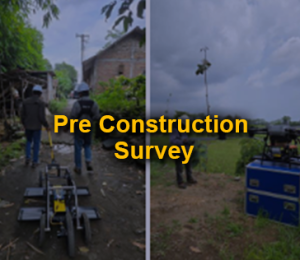
Pre Construction Survey
“PT Geoscan Eksplorasindo has experience providing pre-construction surveys in the field.”
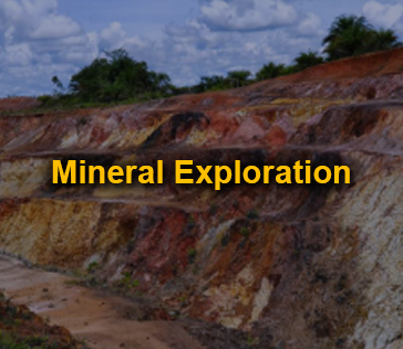
Mineral Exploration
“PT Geoscan Eksplorasindo contributes to Indonesia’s mineral wealth with advanced technology and a professional team.”
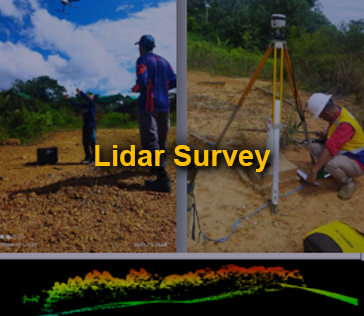
Lidar Survey
“PT Geoscan Eksplorasindo presents drone-based Lidar surveys with detailed data and high accuracy.”
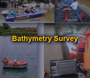
Bathymetry Survey
“PT Geoscan Eksplorasindo is experienced in bathymetric and marine surveys for water mapping.”
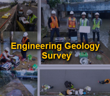
Engineering Geology Survey
“PT Geoscan Eksplorasindo provides expert engineering geological surveys to assess ground conditions and mitigate risks.”
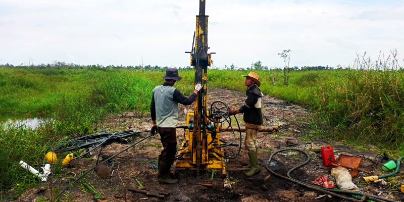
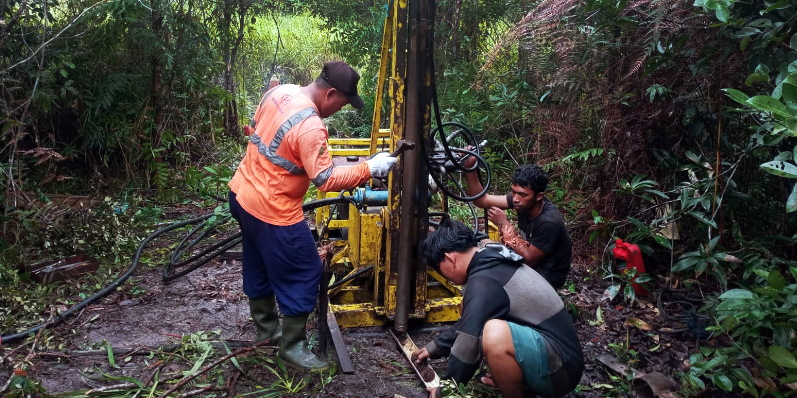
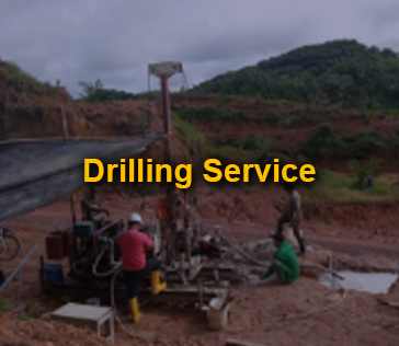
Drilling Service
“PT Geoscan Eksplorasindo operates reliable drilling rigs for mineral exploration and engineering geology.”
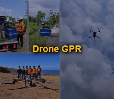
Drone GPR
“PT Geoscan Eksplorasindo pioneered drone-based GPR surveys for high efficiency and quality data.”